| Well Information Table |
|---|
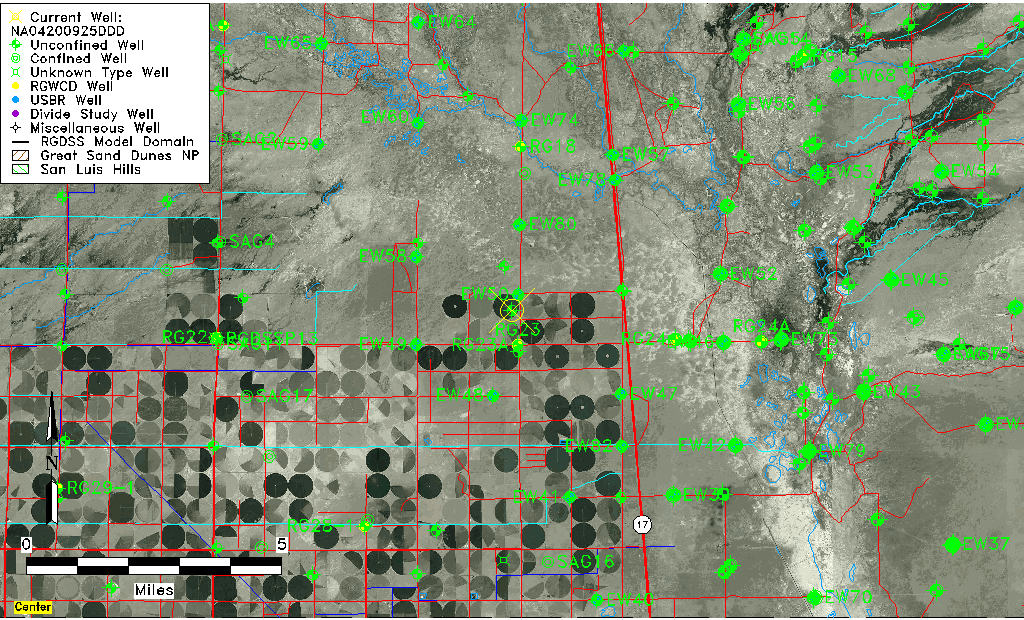
| Common Well ID | NA04200925DDD |
| USGS Well ID | 375045105555001 |
| USGS Station Name | NA04200925DDD |
| USGS Construction Date | 01/01/1967 |
| USGS Site Type | Well |
| USGS Site Use Information | Observation |
| USGS Groundwater Use Information | Unused |
| Data Source(s) | USGS |
| Location Data |
|---|
| TRS | NA04200925DDD |
| USGS TRS 1 | NA04200925DDD |
| USGS TRS | SESESES025T0042NR0009EN |
| Longitude/Latitude (NAD83) | -105.93113090 , 37.84583285 |
| Longitude/Latitude Data Source | GWSI decimal LAT/LONG field |
| USGS Longitude/Latitude (NAD83) | -105.931130900 , 37.845832850 |
| Easting, Northing RGDSS-NAD83 (US ft) | 125806.59 , 309507.28 |
| USGS Topography | Valley flat |
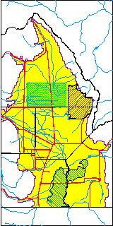
| USGS County | Saguache County |
| Elevation and Depth Data |
|---|
| Ground Elevation (ft NAVD88) | 7551.84 |
| Elevation Data Source | USGS GWSI database |
| USGS Ground Elevation (ft NGVD29) | 7548.00 |
| 1/3-Arc Second NED Ground Elevation (ft NAVD88) | 7551.87 |
| 1-Arc Second NED Ground Elevation (ft NAVD88) | 7551.92 |
| SRTM Ground Elevation (ft NAVD88) | 7559.05 |
| Total Depth (ft) | 10.00 |
| USGS Well Depth (ft) | 10.00 |
| Model Layer | 1 |
| Model Layer Source | Well Depth |
| Depth of Bottom of Layer 1 | 89 |
| Depth of Bottom of Layer 2 | 180 |
| Depth of Bottom of Layer 3 | 1041 |
| Depth of Bottom of Layer 4 | 3117 |
| Additional Well Information | Geohydrology, Construction |
| Aquifer Information |
|---|
| Aquifer Type | Unconfined |
| Aquifer Type Source | TD Elevation/Model Layer |
| USGS Primary Aquifer | Cenozoic Erathem |
| USGS Hydrologic Unit | San Luis |
| USGS Data Available | Water-level (GW.LEV) |
| Water-level Database Information |
|---|
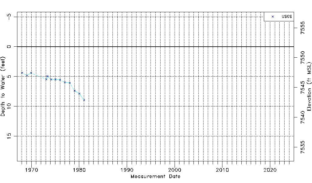
| Water-level Count | 13 |
| Water-level Date Range | 01/16/1968 thru 01/14/1981 |
| Monitored within the last 18 months | No, most recently on 01/14/1981 |
| Depth-to-Water Range (ft) | 4.41 to 8.95 |
| Water Table Elevation Range (ft NAVD88) | 7542.89 to 7547.43 |
| Water-Level-Source:Number-of-Measurements | USGS:13 |