| Well Information Table |
|---|
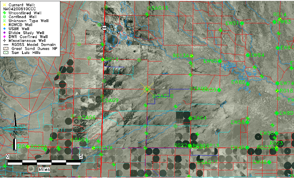
| Common Well ID | NA04200810CCC |
| USGS Well ID | 375333106053901 |
| USGS Station Name | NA04200810CCC |
| USGS Construction Date | 11/14/1966 |
| USGS Site Type | Well |
| USGS Site Use Information | Observation |
| USGS Groundwater Use Information | Unused |
| Data Source(s) | USGS |
| Location Data |
|---|
| TRS | NA04200810CCC |
| USGS TRS 1 | NA04200810CCC |
| USGS TRS | SWSWSWS10 T042N R008E N |
| Longitude/Latitude (NAD83) | -106.09052350 , 37.89347237 |
| Longitude/Latitude Data Source | GWSI decimal LAT/LONG field |
| USGS Longitude/Latitude (NAD83) | -106.090523500 , 37.893472370 |
| Easting, Northing RGDSS-NAD83 (US ft) | 79872.82 , 327020.57 |
| USGS Topography | Valley flat |
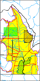
| USGS County | Saguache County |
| USGS Map Name | HARRENCE LAKE |
| USGS Map Scale | 24000 |
| Elevation and Depth Data |
|---|
| Ground Elevation (ft NAVD88) | 7585.34 |
| Elevation Data Source | USGS GWSI database |
| USGS Ground Elevation (ft NGVD29) | 7581.00 |
| 1/3-Arc Second NED Ground Elevation (ft NAVD88) | 7584.35 |
| 1-Arc Second NED Ground Elevation (ft NAVD88) | 7583.93 |
| SRTM Ground Elevation (ft NAVD88) | 7598.42 |
| Total Depth (ft) | 9.40 |
| USGS Well Depth (ft) | 9.40 |
| Model Layer | 1 |
| Model Layer Source | Well Depth |
| Depth of Bottom of Layer 1 | 92 |
| Depth of Bottom of Layer 2 | 151 |
| Depth of Bottom of Layer 3 | 438 |
| Depth of Bottom of Layer 4 | 2178 |
| Additional Well Information | Geohydrology, Construction |
| Aquifer Information |
|---|
| Aquifer Type | Unconfined |
| Aquifer Type Source | TD Elevation/Model Layer |
| USGS Primary Aquifer | Quaternary System |
| USGS Hydrologic Unit | Saguache |
| USGS Data Available | Water-level (GW.LEV) |
| Water-level Database Information |
|---|
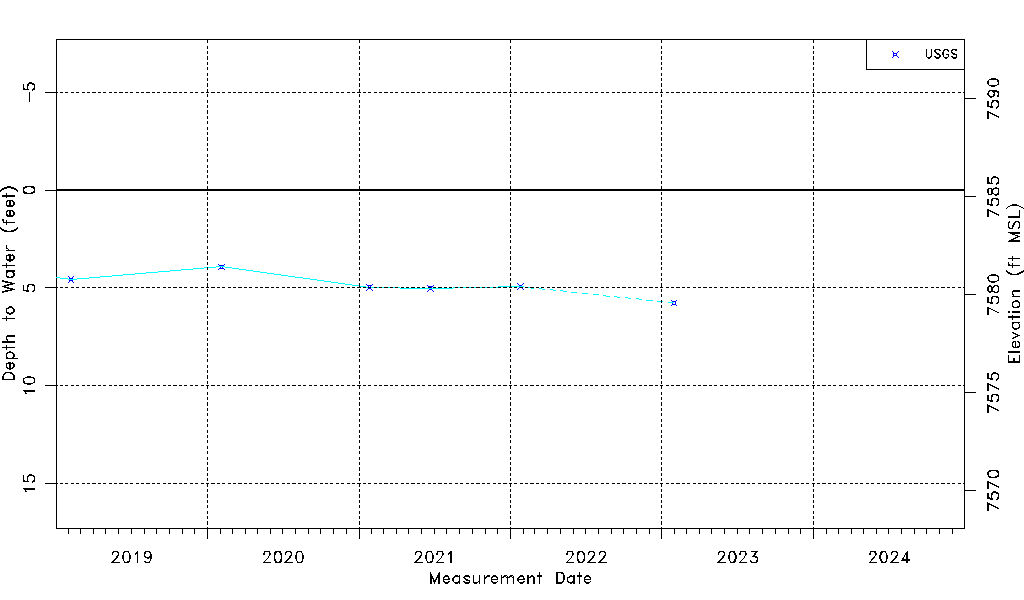
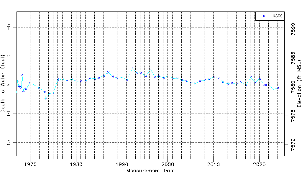
| Water-level Count | 65 |
| Water-level Date Range | 01/05/1967 thru 02/20/2024 |
| Monitored within the last 18 months | No, most recently on 02/20/2024 |
| Depth-to-Water Range (ft) | 2.07 to 7.50 |
| Water Table Elevation Range (ft NAVD88) | 7577.84 to 7583.27 |
| Water-Level-Source:Number-of-Measurements | USGS:65 |