| Well Information Table |
|---|
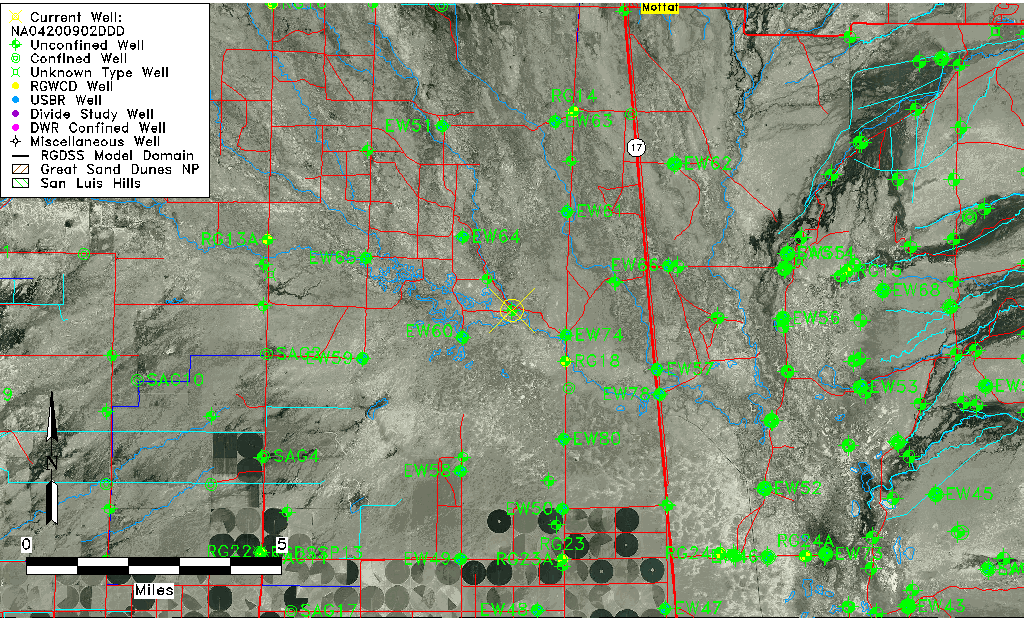
| Common Well ID | NA04200902DDD |
| USGS Well ID | 375424105564801 |
| USGS Station Name | NA04200902DDD |
| USGS Construction Date | 01/01/1974 |
| USGS Site Type | Well |
| USGS Site Use Information | Unused |
| USGS Groundwater Use Information | Unused |
| Data Source(s) | USGS |
| Location Data |
|---|
| TRS | NA04200902DDD |
| USGS TRS 1 | NA04200902DDD |
| USGS TRS | SESESES002T0042NR0009EN |
| Longitude/Latitude (NAD83) | -105.94724090 , 37.90666610 |
| Longitude/Latitude Data Source | GWSI decimal LAT/LONG field |
| USGS Longitude/Latitude (NAD83) | -105.947240900 , 37.906666100 |
| Easting, Northing RGDSS-NAD83 (US ft) | 121223.14 , 331666.49 |
| USGS Topography | Valley flat |
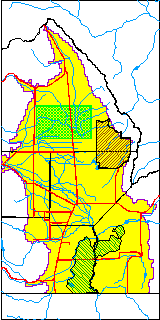
| USGS County | Saguache County |
| Elevation and Depth Data |
|---|
| Ground Elevation (ft NAVD88) | 7548.86 |
| Elevation Data Source | USGS GWSI database |
| USGS Ground Elevation (ft NGVD29) | 7545.00 |
| 1/3-Arc Second NED Ground Elevation (ft NAVD88) | 7549.41 |
| 1-Arc Second NED Ground Elevation (ft NAVD88) | 7548.90 |
| SRTM Ground Elevation (ft NAVD88) | 7552.06 |
| Total Depth (ft) | 26.00 |
| USGS Well Depth (ft) | 26.00 |
| Model Layer | 1 |
| Model Layer Source | Well Depth |
| Depth of Bottom of Layer 1 | 83 |
| Depth of Bottom of Layer 2 | 140 |
| Depth of Bottom of Layer 3 | 604 |
| Depth of Bottom of Layer 4 | 2849 |
| Additional Well Information | Production, Logs, Geohydrology, Construction |
| Aquifer Information |
|---|
| Aquifer Type | Unconfined |
| Aquifer Type Source | TD Elevation/Model Layer |
| USGS Primary Aquifer | Cenozoic Erathem |
| USGS Hydrologic Unit | Saguache |
| USGS Data Available | Geohydrologic |
| Water-level Database Information |
|---|
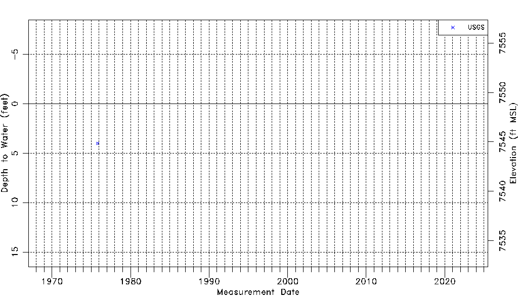
| Water-level Count | 1 |
| Water-level Date Range | 11/01/1975 thru 11/01/1975 |
| Monitored within the last 18 months | No, most recently on 11/01/1975 |
| Depth-to-Water Range (ft) | 4.00 to 4.00 |
| Water Table Elevation Range (ft NAVD88) | 7544.86 to 7544.86 |
| Water-Level-Source:Number-of-Measurements | USGS:1 |