| Well Information Table |
|---|
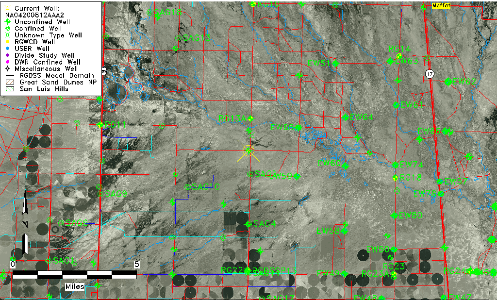
| Common Well ID | NA04200812AAA2 |
| USGS Well ID | 375428106020901 |
| USGS Station Name | NA04200812AAA2 |
| USGS Construction Date | 01/01/1947 |
| USGS Site Type | Well |
| USGS Site Use Information | Unused |
| USGS Groundwater Use Information | Unused |
| Data Source(s) | USGS |
| Location Data |
|---|
| TRS | NA04200812AAA2 |
| USGS TRS 1 | NA04200812AAA2 |
| USGS TRS | NENENES012T0042NR0008EN |
| Longitude/Latitude (NAD83) | -106.03641000 , 37.90777754 |
| Longitude/Latitude Data Source | GWSI decimal LAT/LONG field |
| USGS Longitude/Latitude (NAD83) | -106.036410000 , 37.907777540 |
| Easting, Northing RGDSS-NAD83 (US ft) | 95504.97 , 332161.48 |
| USGS Topography | Valley flat |
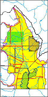
| USGS County | Saguache County |
| Elevation and Depth Data |
|---|
| Ground Elevation (ft NAVD88) | 7564.13 |
| Elevation Data Source | USGS GWSI database |
| USGS Ground Elevation (ft NGVD29) | 7560.00 |
| 1/3-Arc Second NED Ground Elevation (ft NAVD88) | 7562.23 |
| 1-Arc Second NED Ground Elevation (ft NAVD88) | 7561.91 |
| SRTM Ground Elevation (ft NAVD88) | 7556.28 |
| Total Depth (ft) | 29.00 |
| USGS Well Depth (ft) | 29.00 |
| Model Layer | 1 |
| Model Layer Source | Well Depth |
| Depth of Bottom of Layer 1 | 97 |
| Depth of Bottom of Layer 2 | 161 |
| Depth of Bottom of Layer 3 | 436 |
| Depth of Bottom of Layer 4 | 2174 |
| Additional Well Information | Geohydrology, Construction |
| Aquifer Information |
|---|
| Aquifer Type | Unconfined |
| Aquifer Type Source | TD Elevation/Model Layer |
| USGS Primary Aquifer | Cenozoic Erathem |
| USGS Hydrologic Unit | Saguache |
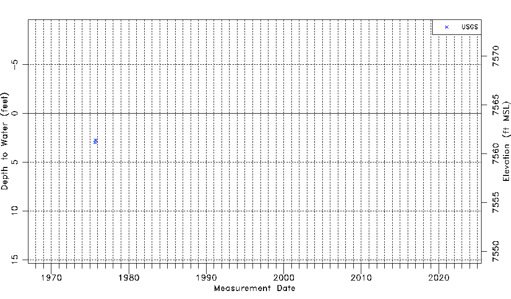
| USGS Data Available | Water-level (GW.LEV) |
| Water-level Database Information |
|---|
| Water-level Count | 2 |
| Water-level Date Range | 09/01/1975 thru 09/17/1975 |
| Monitored within the last 18 months | No, most recently on 09/17/1975 |
| Depth-to-Water Range (ft) | 2.74 to 3.00 |
| Water Table Elevation Range (ft NAVD88) | 7561.13 to 7561.39 |
| Water-Level-Source:Number-of-Measurements | USGS:2 |