| Well Information Table |
|---|
| Common Well ID | NA04200812AAA1 |
| USGS Well ID | 375500106020001 |
| USGS Station Name | NA04200812AAA1 |
| USGS Construction Date | 01/01/1946 |
| USGS Site Type | Well |
| USGS Site Use Information | Observation |
| USGS Groundwater Use Information | Unused |
| Data Source(s) | USGS |
| Location Data |
|---|
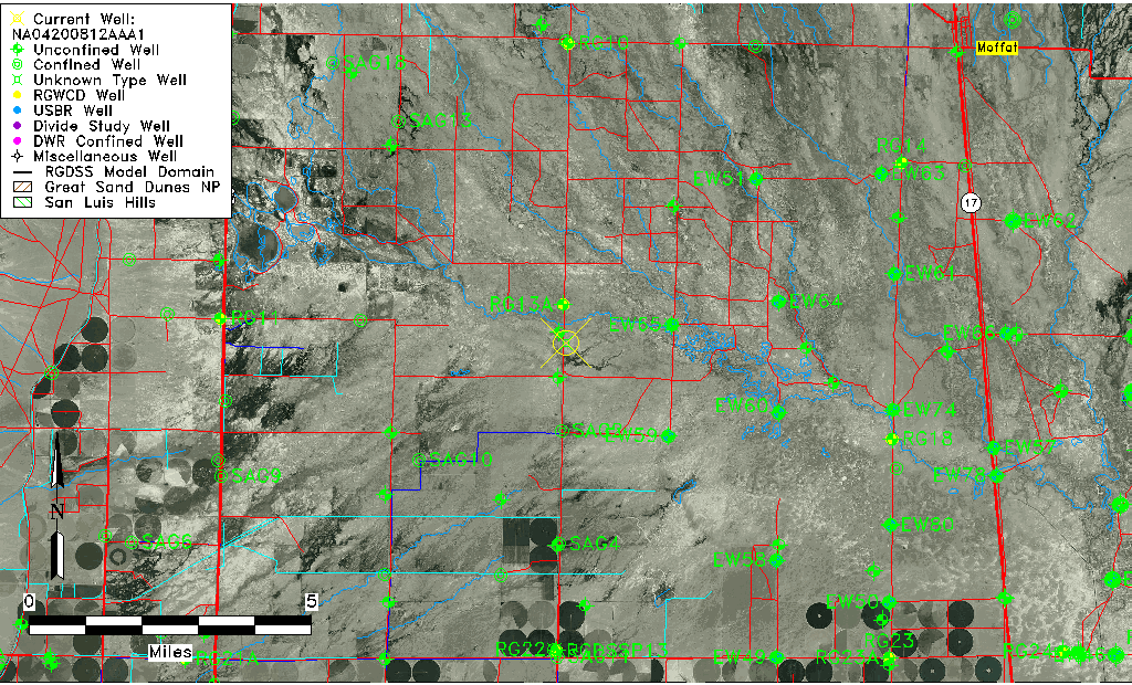
| TRS | NA04200812AAA1 |
| USGS TRS 1 | NA04200812AAA1 |
| USGS TRS | NENENES012T0042NR008EN |
| Longitude/Latitude (NAD83) | -106.03390980 , 37.91666640 |
| Longitude/Latitude Data Source | GWSI decimal LAT/LONG field |
| USGS Longitude/Latitude (NAD83) | -106.033909800 , 37.916666400 |
| Easting, Northing RGDSS-NAD83 (US ft) | 96238.95 , 335394.54 |
| USGS Topography | Flat Surface |
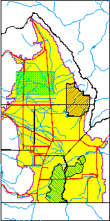
| USGS County | Saguache County |
| Elevation and Depth Data |
|---|
| Ground Elevation (ft NAVD88) | 7564.12 |
| Elevation Data Source | USGS GWSI database |
| USGS Ground Elevation (ft NGVD29) | 7560.00 |
| 1/3-Arc Second NED Ground Elevation (ft NAVD88) | 7560.51 |
| 1-Arc Second NED Ground Elevation (ft NAVD88) | 7560.46 |
| SRTM Ground Elevation (ft NAVD88) | 7572.18 |
| Depth of Bottom of Layer 1 | 99 |
| Depth of Bottom of Layer 2 | 160 |
| Depth of Bottom of Layer 3 | 413 |
| Depth of Bottom of Layer 4 | 2140 |
| Additional Well Information | Geohydrology, Construction |
| Aquifer Information |
|---|
| Aquifer Type | Unknown |
| Aquifer Type Source | None |
| USGS Primary Aquifer | Cenozoic Erathem |
| USGS Hydrologic Unit | Saguache |
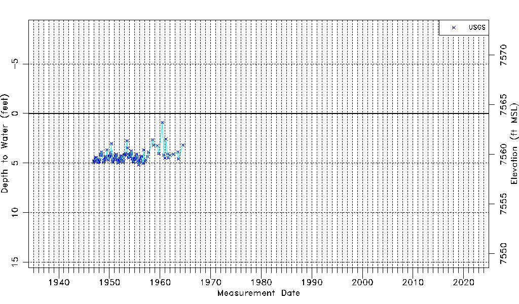
| USGS Data Available | Water-level (GW.LEV) |
| Water-level Database Information |
|---|
| Water-level Count | 130 |
| Water-level Date Range | 11/23/1946 thru 07/06/1964 |
| Monitored within the last 18 months | No, most recently on 07/06/1964 |
| Depth-to-Water Range (ft) | 0.92 to 5.19 |
| Water Table Elevation Range (ft NAVD88) | 7558.93 to 7563.20 |
| Water-Level-Source:Number-of-Measurements | USGS:130 |