| Well Information Table |
|---|
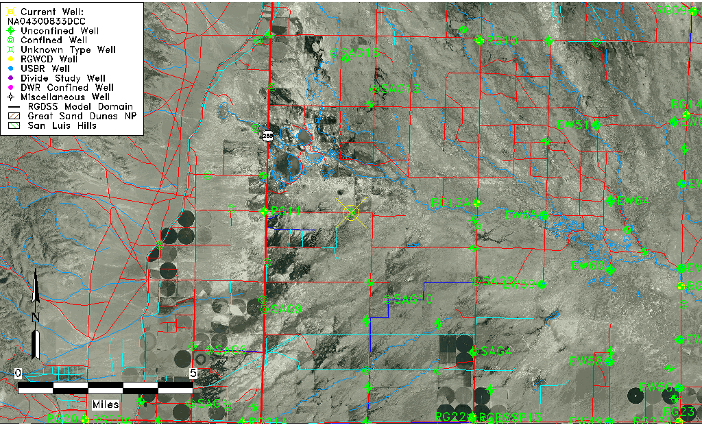
| Common Well ID | NA04300833DCC |
| USGS Well ID | 375520106060001 |
| USGS Station Name | NA04300833DCC |
| USGS Construction Date | 01/01/1961 |
| USGS Site Type | Well |
| USGS Site Use Information | Withdrawal of Water |
| USGS Groundwater Use Information | Irrigation |
| Data Source(s) | USGS |
| Location Data |
|---|
| TRS | NA04300833DCC |
| USGS TRS 1 | NA04300833DCC |
| USGS TRS | SWSWSES033T0043NR0008EN |
| Longitude/Latitude (NAD83) | -106.10057890 , 37.92222236 |
| Longitude/Latitude Data Source | GWSI decimal LAT/LONG field |
| USGS Longitude/Latitude (NAD83) | -106.100578900 , 37.922222360 |
| Easting, Northing RGDSS-NAD83 (US ft) | 77020.88 , 337500.34 |
| USGS Topography | Valley flat |
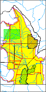
| USGS County | Saguache County |
| Elevation and Depth Data |
|---|
| Ground Elevation (ft NAVD88) | 7579.35 |
| Elevation Data Source | USGS GWSI database |
| USGS Ground Elevation (ft NGVD29) | 7575.00 |
| 1/3-Arc Second NED Ground Elevation (ft NAVD88) | 7579.86 |
| 1-Arc Second NED Ground Elevation (ft NAVD88) | 7580.02 |
| SRTM Ground Elevation (ft NAVD88) | 7591.86 |
| Total Depth (ft) | 811.00 |
| USGS Well Depth (ft) | 811.00 |
| Model Layer | 4 |
| Model Layer Source | Well Depth |
| Depth of Bottom of Layer 1 | 64 |
| Depth of Bottom of Layer 2 | 173 |
| Depth of Bottom of Layer 3 | 368 |
| Depth of Bottom of Layer 4 | 1936 |
| Additional Well Information | Geohydrology, Construction |
| Aquifer Information |
|---|
| Aquifer Type | Confined |
| Aquifer Type Source | TD Elevation/Model Layer |
| USGS Primary Aquifer | Cenozoic Erathem |
| USGS Hydrologic Unit | Saguache |
| USGS Data Available | Water-level (GW.LEV) |
| Water-level Database Information |
|---|
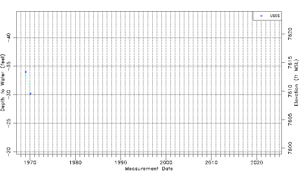
| Water-level Count | 2 |
| Water-level Date Range | 01/20/1969 thru 02/17/1970 |
| Monitored within the last 18 months | No, most recently on 02/17/1970 |
| Depth-to-Water Range (ft) | -34.00 to -30.20 |
| Water Table Elevation Range (ft NAVD88) | 7609.55 to 7613.35 |
| Water-Level-Source:Number-of-Measurements | USGS:2 |