| Well Information Table |
|---|
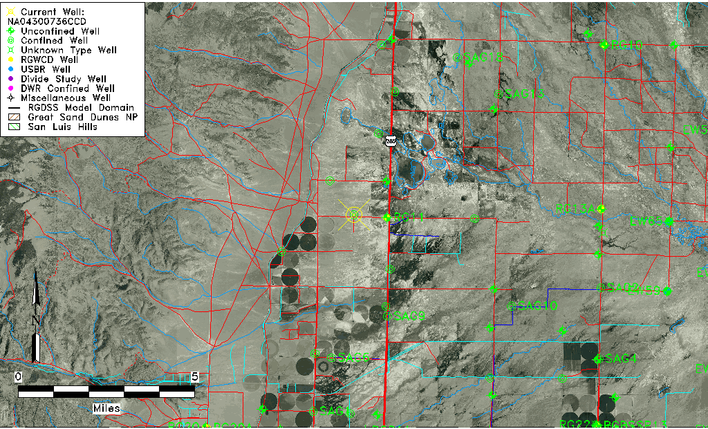
| Common Well ID | NA04300736CCD |
| USGS Well ID | 375525106094501 |
| USGS Station Name | NA04300736CCD |
| USGS Construction Date | 01/01/1964 |
| USGS Site Type | Well |
| USGS Site Use Information | Withdrawal of Water |
| USGS Groundwater Use Information | Commercial |
| Data Source(s) | USGS |
| Location Data |
|---|
| TRS | NA04300736CCD |
| USGS TRS 1 | NA04300736CCD |
| USGS TRS | SESWSWS036T0043NR0007EN |
| Longitude/Latitude (NAD83) | -106.16308130 , 37.92361160 |
| Longitude/Latitude Data Source | GWSI decimal LAT/LONG field |
| USGS Longitude/Latitude (NAD83) | -106.163081300 , 37.923611600 |
| Easting, Northing RGDSS-NAD83 (US ft) | 58998.90 , 338096.58 |
| USGS Topography | Valley flat |
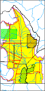
| USGS County | Saguache County |
| Elevation and Depth Data |
|---|
| Ground Elevation (ft NAVD88) | 7610.53 |
| Elevation Data Source | USGS GWSI database |
| USGS Ground Elevation (ft NGVD29) | 7606.00 |
| 1/3-Arc Second NED Ground Elevation (ft NAVD88) | 7615.11 |
| 1-Arc Second NED Ground Elevation (ft NAVD88) | 7614.71 |
| SRTM Ground Elevation (ft NAVD88) | 7621.40 |
| Total Depth (ft) | 550.00 |
| USGS Well Depth (ft) | 550.00 |
| Model Layer | 4 |
| Model Layer Source | Well Depth |
| Depth of Bottom of Layer 1 | 46 |
| Depth of Bottom of Layer 2 | 177 |
| Depth of Bottom of Layer 3 | 338 |
| Depth of Bottom of Layer 4 | 1352 |
| Additional Well Information | Geohydrology, Construction |
| Aquifer Information |
|---|
| Aquifer Type | Confined |
| Aquifer Type Source | TD Elevation/Model Layer |
| USGS Primary Aquifer | Cenozoic Erathem |
| USGS Hydrologic Unit | Saguache |
| USGS Data Available | Water-level (GW.LEV) |
| Water-level Database Information |
|---|
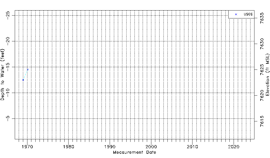
| Water-level Count | 2 |
| Water-level Date Range | 01/20/1969 thru 02/17/1970 |
| Monitored within the last 18 months | No, most recently on 02/17/1970 |
| Depth-to-Water Range (ft) | -14.50 to -12.50 |
| Water Table Elevation Range (ft NAVD88) | 7623.03 to 7625.03 |
| Water-Level-Source:Number-of-Measurements | USGS:2 |