| Well Information Table |
|---|
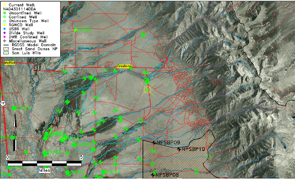
| Common Well ID | NA04301114DDA |
| USGS Well ID | 375800105432001 |
| GSDNP Well Name | 375800105432001 |
| USGS Station Name | NA04301114DDA |
| USGS Site Type | Well |
| USGS Site Use Information | Withdrawal of Water |
| USGS Groundwater Use Information | Stock |
| Data Source(s) | USGS |
| Location Data |
|---|
| TRS | NA04301114DDA |
| USGS TRS 1 | NA04301114DDA |
| USGS TRS | NESESES014T0043NR0011EN |
| Longitude/Latitude (NAD83) | -105.72279000 , 37.96666585 |
| Longitude/Latitude Data Source | GWSI decimal LAT/LONG field |
| USGS Longitude/Latitude (NAD83) | -105.722790000 , 37.966665850 |
| Easting, Northing RGDSS-NAD83 (US ft) | 185975.76 , 353389.56 |
| USGS Topography | Hilltop |
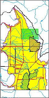
| USGS County | Saguache County |
| Elevation and Depth Data |
|---|
| Ground Elevation (ft NAVD88) | 7705.25 |
| Elevation Data Source | USGS GWSI database |
| USGS Ground Elevation (ft NGVD29) | 7701.00 |
| 1/3-Arc Second NED Ground Elevation (ft NAVD88) | 7707.36 |
| 1-Arc Second NED Ground Elevation (ft NAVD88) | 7703.12 |
| SRTM Ground Elevation (ft NAVD88) | 7706.69 |
| Depth of Bottom of Layer 1 | 265 |
| Depth of Bottom of Layer 2 | 533 |
| Depth of Bottom of Layer 3 | 1179 |
| Depth of Bottom of Layer 4 | 2366 |
| Additional Well Information | Geohydrology, Construction |
| Aquifer Information |
|---|
| Aquifer Type | Unknown |
| Aquifer Type Source | None |
| USGS Primary Aquifer | Cenozoic Erathem |
| USGS Hydrologic Unit | San Luis |
| USGS Data Available | Water-level (GW.LEV) |
| Water-level Database Information |
|---|
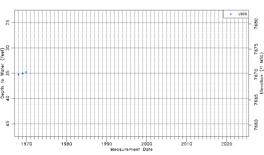
| Water-level Count | 3 |
| Water-level Date Range | 01/16/1968 thru 12/03/1969 |
| Monitored within the last 18 months | No, most recently on 12/03/1969 |
| Depth-to-Water Range (ft) | 34.77 to 35.27 |
| Water Table Elevation Range (ft NAVD88) | 7669.98 to 7670.48 |
| Water-Level-Source:Number-of-Measurements | USGS:3 |