| Well Information Table |
|---|
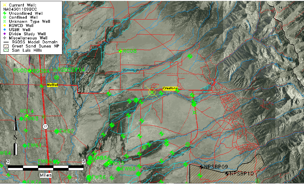
| Common Well ID | NA04301109BCC |
| USGS Well ID | 375910105462501 |
| GSDNP Well Name | 375910105462501 |
| USGS Station Name | NA04301109BCC |
| USGS Site Type | Well |
| USGS Site Use Information | Unused |
| USGS Groundwater Use Information | Unused |
| Data Source(s) | USGS |
| Location Data |
|---|
| TRS | NA04301109BCC |
| USGS TRS 1 | NA04301109BCC |
| USGS TRS | SWSWNWS009T0043NR0011EN |
| Longitude/Latitude (NAD83) | -105.77417970 , 37.98611015 |
| Longitude/Latitude Data Source | GWSI decimal LAT/LONG field |
| USGS Longitude/Latitude (NAD83) | -105.774179700 , 37.986110150 |
| Easting, Northing RGDSS-NAD83 (US ft) | 171174.00 , 360481.50 |
| USGS Topography | Valley flat |
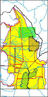
| USGS County | Saguache County |
| Elevation and Depth Data |
|---|
| Ground Elevation (ft NAVD88) | 7622.24 |
| Elevation Data Source | USGS GWSI database |
| USGS Ground Elevation (ft NGVD29) | 7618.00 |
| 1/3-Arc Second NED Ground Elevation (ft NAVD88) | 7630.84 |
| 1-Arc Second NED Ground Elevation (ft NAVD88) | 7631.39 |
| SRTM Ground Elevation (ft NAVD88) | 7644.64 |
| Depth of Bottom of Layer 1 | 176 |
| Depth of Bottom of Layer 2 | 394 |
| Depth of Bottom of Layer 3 | 1414 |
| Depth of Bottom of Layer 4 | 3501 |
| Additional Well Information | Geohydrology, Construction |
| Aquifer Information |
|---|
| Aquifer Type | Unknown |
| Aquifer Type Source | None |
| USGS Primary Aquifer | Cenozoic Erathem |
| USGS Hydrologic Unit | San Luis |
| USGS Data Available | Water-level (GW.LEV) |
| Water-level Database Information |
|---|
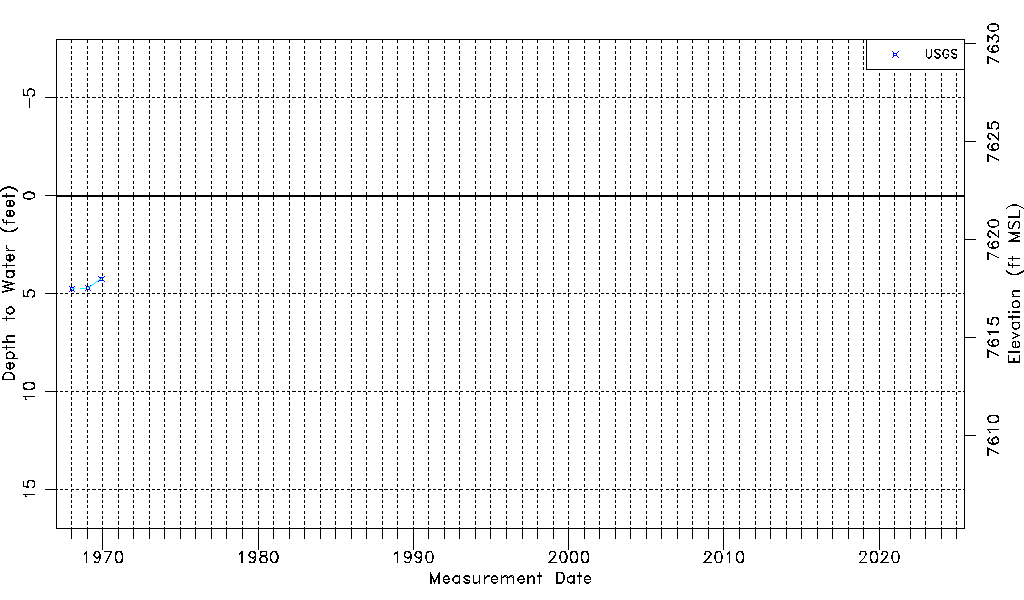
| Water-level Count | 3 |
| Water-level Date Range | 01/16/1968 thru 12/03/1969 |
| Monitored within the last 18 months | No, most recently on 12/03/1969 |
| Depth-to-Water Range (ft) | 4.24 to 4.75 |
| Water Table Elevation Range (ft NAVD88) | 7617.49 to 7618.00 |
| Water-Level-Source:Number-of-Measurements | USGS:3 |