| Well Information Table |
|---|
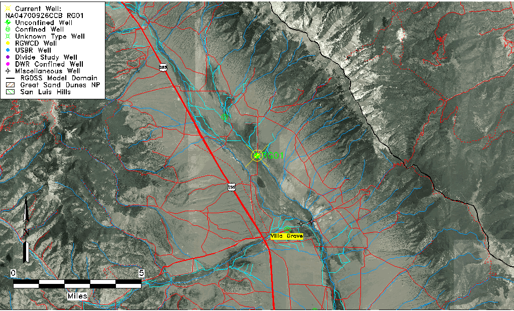
| Common Well ID | NA04700926CCB RG01 |
| RGWCD Well ID | RG01 |
| USGS Well ID | 381742105571801 |
| USGS Station Name | NA04700926CCB RG01 |
| USGS Construction Date | 01/01/1954 |
| USGS Site Type | Well |
| USGS Site Use Information | Unused |
| USGS Groundwater Use Information | Unused |
| Data Source(s) | USGS, RGWCD |
| Location Data |
|---|
| TRS | NA04700926CCB RG01 |
| RGWCD TRS | NA04700926CCB |
| USGS TRS 1 | NA04700926CCB RG01 |
| USGS TRS | NWSWSWS026T0047NR0009EN |
| Longitude/Latitude (NAD83) | -105.95473997 , 38.29767214 |
| Longitude/Latitude Data Source | RGWCD/Davis Engineering |
| RGWCD Longitude/Latitude (NAD83) | -105:57:17.0639 , 38:17:51.61969 |
| USGS Longitude/Latitude (NAD83) | -105.955568600 , 38.294998800 |
| Easting, Northing RGDSS-NAD83 (US ft) | 119510.06 , 474019.37 |
| USGS Topography | Valley flat |
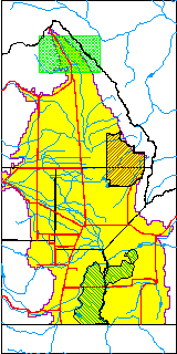
| USGS County | Saguache County |
| Elevation and Depth Data |
|---|
| Ground Elevation (ft NAVD88) | 7995.09 |
| Elevation Data Source | RGWCD well database |
| RGWCD Measuring Point Elevation (ft NAVD88) | 7996.390 |
| RGWCD Well Riser Height (ft) | 1.300 |
| RGWCD Ground Surface (ft NAVD88) | 7995.09 |
| USGS Ground Elevation (ft NGVD29) | 7980.00 |
| 1/3-Arc Second NED Ground Elevation (ft NAVD88) | 8005.75 |
| 1-Arc Second NED Ground Elevation (ft NAVD88) | 7995.17 |
| SRTM Ground Elevation (ft NAVD88) | 8002.70 |
| Total Depth (ft) | 99.00 |
| USGS Well Depth (ft) | 99.00 |
| Model Layer | 1 |
| Model Layer Source | RGWCD |
| Depth of Bottom of Layer 1 | 27 |
| Depth of Bottom of Layer 2 | 53 |
| Depth of Bottom of Layer 3 | 145 |
| Depth of Bottom of Layer 4 | 1155 |
| Additional Well Information | Geohydrology, Construction |
| Aquifer Information |
|---|
| Aquifer Type | Unconfined |
| Aquifer Type Source | RGWCD_AQ |
| USGS Primary Aquifer | Cenozoic Erathem |
| USGS Aquifer Type | Unconfined Single Aquifer |
| USGS Hydrologic Unit | San Luis |
| USGS Data Available | Water-level (GW.LEV) |
| Water-level Database Information |
|---|
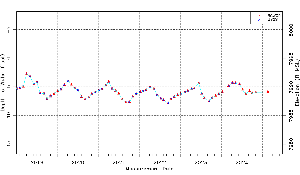
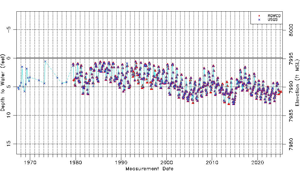
| Water-level Count | 576 |
| Water-level Date Range | 05/16/1967 thru 07/01/2026 |
| Monitored within the last 18 months | Yes, most recently on 07/01/2026 |
| Depth-to-Water Range (ft) | 0.57 to 9.74 |
| Water Table Elevation Range (ft NAVD88) | 7985.35 to 7994.52 |
| Water-Level-Source:Number-of-Measurements | RGWCD:548 USGS:507 |